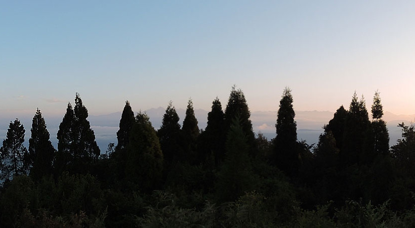
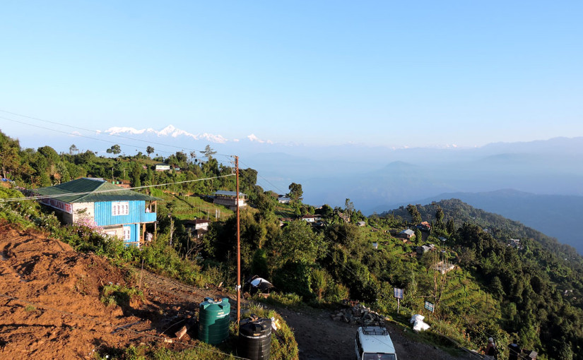
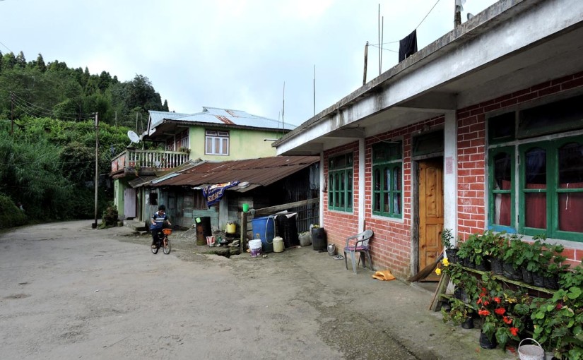
Kolakham, a beautiful land in the clouds facing the mighty Mt. Kanchenjunga is home to 62 Nepali families from the Rai community. Bird watchers and adventurous souls regard Kolakham as paradise on earth because the land is replete with natural abundance. Perched at an altitude of 6200 feet, the hamlet lies on the fringes of the famous Neora Valley National Park in the Kalimpong subdivision of Darjeeling district. The mountainous village of Lava is located just 8 kilometers from Kolakham. Mt. Kanchenjunga can be viewed from here in its full glory along with other peaks of Eastern Himalaya which include Pandim, Kabru, Siniolchu. Kolakham is 108 kilometers from Siliguri, the gateway to North Bengal. Continue reading
Author: indispottravel
Manebhanjan at a height of 7054 feet the starting point for trek to Sandakphu
Manebhanjan is a tiny hamlet that is located at a distance of approximately 26 km from Darjeeling. From Siliguri it is almost 92 kms away. It is located on the border shared by India with Nepal and it is nestled at a height of 7054 feet. It is also well known as the starting point for the well-known trek to Sandakphu as well as Singalila National Park. The major source of income for people in this small and cozy village is tourism. In fact, Manebhanjan is one place where you will still get to see the Land Rovers in use. The vehicles were in use during the British period and are ideal when it comes to climbing the gravel-filled roads that dot the trail to Sandakphu. There are only a few of them remaining now. You will be amazed when you see how wonderfully the owners treat these cars – it is as if their own brother or sister. Continue reading
Rimbik is a small town that is located in the Singalila National Park
Rimbik is a small town that is located in the Singalila National Park. This small town can be described as a major attraction for people who are trekking from Darjeeling or a nearby area to the national park – a road that also includes the famous trek to Sandpakphu. In the recent years, tourists who wish to explore new destinations in addition to the established areas such as Darjeeling, Lava, Lolegao etc. have been visiting Rimbik as well. The hamlet is basically situated atop a mountain that overlooks the River Ramman that flows from Sikkim into Bengal. It could be described as the last major habitation on the Bengal side of the border. It is located in close proximity with both Nepal and Sikkim.
Rimbik has a big market that serves as a source of supplies that are needed by the nearby villages on a consistent basis. This is also one of the reasons why the local villages depend on Rimbik to a certain extent. Continue reading
Singalila National Park
Singalila National Park located at the Singalila Ridge is a popular tourist destination in Darjeeling District West Bengal. Sitting at an altitude between 7,900 feet and 12,000 feet, it is a unique national park situated at the highest point in West Bengal. The Singalila National Park covers an area of 78.6 square kilometers and is popular for its wide range of flora, fauna and also because of the trekking route to Sandakphu and Phalut, two of the highest peaks in Singalila Range. Originally it was a wildlife sanctuary which has now been transformed into a national park where tourists are allowed to undertake jeep safari on the gravel road winding through the park starting from Manebhanjan. Continue reading
Kalijhora falls, 13 kilometers from Mongpu
13 kilometers from Mongpu and 28 kilometers from Siliguri tucked away in the Himalayas is the small and relatively less crowded hamlet of Kalijhora. The village is totally covered by the forests of shaal, arjun, segun, eucalyptus and derives its name from the water fall Kalijhora cascading down from a height of 550 meters. Kalijhora literally means black water and the color is definitely more blackish than the mighty Teesta flowing downstream. Mouni Pahar/hill surrounds this quaint little hamlet and Swetkhola and Kalikhola Rivers act as borders of this Kalijhora while the village itself is the border between Bengal and Sikkim. Continue reading
Samsing is on the border of Jalpaiguri and Darjeeling an elevation of 3,000 feet
Samsing is a small hamlet located on the border of Jalpaiguri and Darjeeling in the foothills. Enjoying an elevation of 3,000 feet, Samsing is beautiful in its natural glory. The vast landscape, forests, hills, tea gardens add to the charm of this hamlet which is increasingly becoming a popular tourist destination. The village is divided into two sections- the tea garden area and the basti that is the settlement zone which is inhabited by around 2500 people. Samsing is 8 kilometers from Meteli, 15 kilometers from Chalsa, 19 kilometers from Malbazar, 50 kilometers from Mongpong, 80 kilometers from Siliguri and 26 kilometers from Gorumara. The land experiences mild weather throughout the year which is another reason for its popularity as a tourist destination.
How to reach Samsing
Reaching Samsing is easy because it’s accessible by road. It’s a 3 hour drive from Siliguri and the route is most rewarding. It has visually stunning and picturesque landscape which seems like the backdrop of a romantic film. On the National Highway-31 you have to cross Malbazar to reach Chalsa from where its 15 minutes drive to Meteli by taking the left turn. These 8 kilometers is the most rewarding because the road is flanked by sprawling tea gardens- the Samsing and Zurantee tea gardens making the route enchanting. However, the road leading to Samsing is quite narrow so one must drive carefully.
Accommodation facilities in Samsing
Samsing provides plenty of accommodation facilities to the tourists. Suntalekhola is the ideal place to stay and most of the tourists put up at the cottages here. Suntalekhola is about 4 kilometers uphill from Samsing and has well facilitated cottages and bungalows maintained by West Bengal Forest Department. Cross a small hanging bridge to arrive at the government resort at Suntalekhola. Alternatively, you can stay at the Rocky Island Nature Resort which is located on the banks of Murti River. You will be provided tents for overnight stay to enjoy the beautiful and mysterious atmosphere of the region. If you wish to see the lifestyle of the local people, then Faribasti homestay will be the best option for you. Experience their hospitality and also their love for nature.
Attractions in Samsing
Staying at any of these places will be a treat for your eyes because of the pristine nature and of course the meandering Murti River. The river turbulently flows from Neora Valley National Park through Samsing to reach Jaldhaka near Gorumara National Park. You can also hear the sound of the water splashing against the rocks. At Suntalekhola you will notice a beautiful orange stream flowing through the land and making it picturesque. Suntalekhola and Rocky Island also serve as picnic spots for local people along with Laliguras which is again a beautiful place with lush greenery amidst mountains.
For adventure take the trek routes originating from Suntalekhola leading to Neora Valley national Park. But you must seek permission from the forest department to enter the park. Other trekking routes lead to Tree Fern Point and Mo or Mo Chaki from where the Himalayan Mountains are visible on one side. The snow covered Jalep La pass is also visible from here.
Charcoal located at an elevation of 5000 feet
Charcoal located at an elevation of 5000 feet sits pretty at the top of the eastern Himalayan range rewarding the tourists with natural abundance. Only 16 kilometers from Lolegaon and 22 kilometers from Kalimpong, Charcoal or Charkhol is a small Lepcha village tucked away in the lap of the Himalayas. Charcoal offers the most pristine forests in the eastern Himalayas and a breathtaking view of the Kanchenjunga which you will never forget in your life. Easy, simple, peaceful, Charcoal is arguably one of the best places for mind and body rejuvenation. With so much of greenery all around you, you will completely forget about the concrete jungle you have come from. Continue reading
Tiffin Dara View Point is an altitude of around 2,360 meters
Tiffin Dara is a point from where the 360 degree view of Kanchenjungha can be seen without any interruption. Dara means point in the Lepcha language and Tiffin Dara is a point in the Eastern Himalayan range in North East India offering a breathtaking view of the world’s 3rd highest peak. 2 kilometers uphill from Rishyap, a small hamlet, Tiffin Dara can be reached by trekking on the mountainous trail. The best part of this trek is that it goes through the dense forest filled with birch, pine, fir trees and different varieties of orchids. Chirping birds and some mountainous dogs might accompany you through the journey. Continue reading
Rishyap, a Lepcha village situated at the foothills of TriffinDara at an elevation of 2,360 meters
Rishop or Rishyap, is a picturesque hamlet and a nature lover’s paradise. The term Rishyap when translated in English means Land of Lofty Mountains, Peaks and Old Aged Trees. This beautiful and peaceful land where mountains, trees, birds, animals and humans co-exist peacefully is gaining significance in terms of popularity. Nature lovers of course find it very close to their heart and the non lovers also fall in love with its unique charm. Rishyap is basically a Lepcha community village situated at the foothills of TriffinDara at an elevation of 2,360 meters. Developed almost recently, Rishyap is part of Neora Valley which offers a spectacular view of the mighty Kanchenjunga. For people who love to trek on mountain roads, the experience will be most rewarding through the forests of pine, Dhupi and Rhododendron. Continue reading
Gumabadara Village, nestled in Kalimpong is 12 km from Lava and 10 km from Lolegaon
When you come to think of it Gumabadara Village, nestled in Kalimpong, is not exactly one of the leading tourist destinations in this part of the hilly terrain of Bengal. But boy, you would make a great mistake if you never visited this place at least once in your life when you had the chance to do so. In case you have been to Kalimpong before you would be well conversant with the destination known as Lolegaon.
How to reach Gumbadara Village
Before you make the trip to Gumabara you need to be aware of the fact that the accommodation that you shall get here is mostly village style facilities. It is 12 km from Lava and 10 km from Lolegaon. It is situated at a height of 6500 feet and is regarded as a virgin beauty of sorts. The hamlet is dotted with trees such as oak, pine and trees known in Bengali as jhau. It is a really wonderful site for the tired souls. It is like a riot of blue and green over here – the natural beauty will simply take your breath away.
Attractions in Gumbadara Village
Nearby Gumbadara is located the Kafer Village (Also known as Loleygaon or Lolegaon). You know, what the best part of this journey is – the jungle that you need to pass through in order to get to Gumbadara from Lolegaon! For each day the cost for one person would be in the range of INR 1000. This includes both food and lodging. However, if you are not going alone then there is a good chance that the costs could come down. This place is known as the land of cloud fairies and not without reason. The greenery here is mind-blowing as well and you could jolly well spend at least a couple of days over here.
A monastery is building up in this village. A big Buddha statue and a lama school are here. In downhill there is a nice village is there. A newly set up high school and doctor’s dispensary are also there.
Accommodation in Gumbadara Village
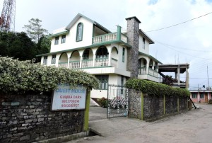
Salakha Guest House is one of the various options that you would get here in case you are looking to spend a day here. You can also try out D600. Here you will get both food and lodging. Otherwise you can opt for home-stay facilities as well. The costs are not too much.
Salakha Guest House
Phone: 09933780018 / 09593652607
Tariff: Rs. 500.00 – Rs. 1600.00
